Welcome to the GIS and Data Service Lab at the University of Maryland Libraries.
🎯 Mission
To provide complimentary services to UMD users on various aspects of geospatial data, data science, and data visualization for research, teaching, and learning. We are dedicated to supporting your needs in utilizing cutting-edge technologies and tools to enhance your projects and studies.
💼 Services
Our lab offers a wide range of services to assist you in your geospatial and data-related endeavors. Some of the services we provide include:
- ArcGIS Pro: We can help you leverage the power of ArcGIS Pro for advanced geospatial analysis and mapping.
- ArcGIS Online Web Mapping: Our team can guide you in creating interactive web maps using ArcGIS Online.
- StoryMapping: We can assist you in developing captivating and informative story maps to showcase your research or project.
- Mobile Survey: We offer support in designing and implementing mobile surveys for data collection in the field.
- Python, R, NVivo, and SAS: Whether you need assistance with scripting and programming in Python or R, analyzing qualitative data in NVivo, or statistical analysis with SAS, our team is here to help.
To request a consultation or inquire about any of our services, please fill out our service intake form.
👩💻Team👨💻
Meet the talented individuals who make up our dedicated team:
👨💻 Milan Budhathoki, GISPⓇ
Role: GIS and Data Librarian
Mr. Budhathoki leads the GIS and Data Service Center established in McKeldin Library at the University of Maryland Libraries College Park. He specializes in applying geospatial concepts to advance academic research, teaching, and learning.
The center that he manages provides complimentary services to UMD users on various aspects of geospatial data, data science, and data visualization across the campus. He oversees delivering uniquely catered GIS/Data services through consultation, workshop series, computing lab, and web resources among others.
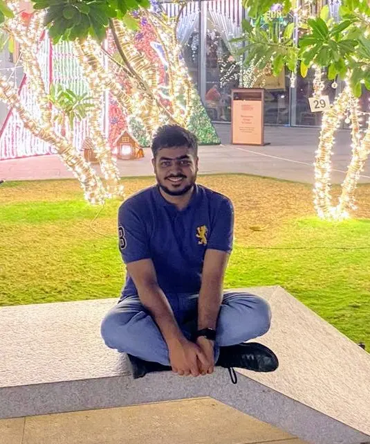
👨💻 Abhimanyu Hans (Abhi)
Role: Data Services GA
I am a graduate student at the Clarks School of Engineering. At GIS and Data Service Center, I work on Python and data sources consults and workshops.
The best way to reach me is by email at ahans1@umd.edu
I am always interested in machine learning, and data science projects. If you have any consultation or workshop requests on these topics, please email me.
Workshops offered by me:
👩💻 Xueting Zhang (Tina)
Role: GIS Student Assistant
I am a graduate student at the Department of Geographical Sciences. At GIS and Data Service Center, I specialize and work on Storymapping and ArcGIS software suite. I take GIS and related data analysis consultations.
The best way to reach me is by email at xueting@umd.edu
Please email me if you have any consultation or workshop requests on these topics.
👨💻 Mohak Verma
Role: Data and Statistical Consultant
I am a graduate student at the Robert H Smith School of Business. At GIS and Data Service Center, I specialize and work on NVivo, data visualization software statistical analysis. I take statistical data and qualitative data analysis consultations.
The best way to reach me is by email at mverma12@umd.edu
I have a keen interest in data science and analytics. Please email me if you have any consultation or workshop requests on these topics.
👨💻 Sakar Phuyal
Role: Data Assistant
I am a graduate student in the Robert H Smith School of Business specializing in business analytics, with a broad range of expertise in Python, R, Excel, SQL, and Tableau. Throughout my academic journey, I have developed a strong foundation in business analytics, applying various programming languages and tools to extract valuable insights from complex datasets. At the GIS and data services center, I perform data cleaning, exploratory data analysis, and work on Surveys, updating workshop material and Tableau for data visualization purposes. I also take consultations on Python, R, Excel, SQL, and Tableau.
The best way to reach me is by email at sakarp07@umd.edu
👨💻 Jim Nealis
Role: Map Collection Volunteer
I am a graduate of the University of Maryland, College Park, with degrees in Geography and Sociology. I began volunteering at the library since 2011, after my retirement from the Washington Suburban Sanitary Commission (the water and sewer agency serving the Maryland suburbs of D.C.), where I worked as an assistant engineer, cartographer, and contract manager. I like maps and atlases and have been ‘curator’ of the McKeldin map collection of over 100,000 maps for more than ten years. If you need help locating a map in our procured collection - which includes maps from the 1800s to the 21st Century - please email at jenealis@aol.com

